L
T
TO SEE
Explore property boundaries, ownership records, and AR visualization across the Twin Cities metro area.

Explore property boundaries, ownership records, and AR visualization across the Twin Cities metro area.
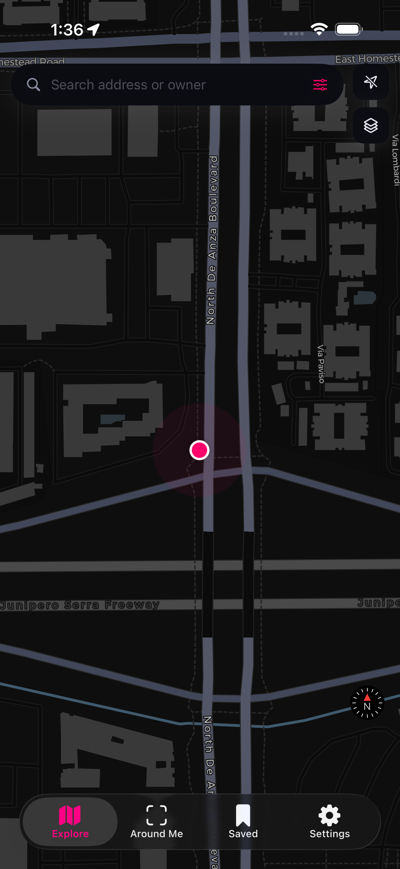
Browse 1.1 million property boundaries across all seven metro counties. Tap any lot for ownership, value, and tax details.
Point your camera at the ground to see property lines rendered in augmented reality. Walk the boundaries in real time.
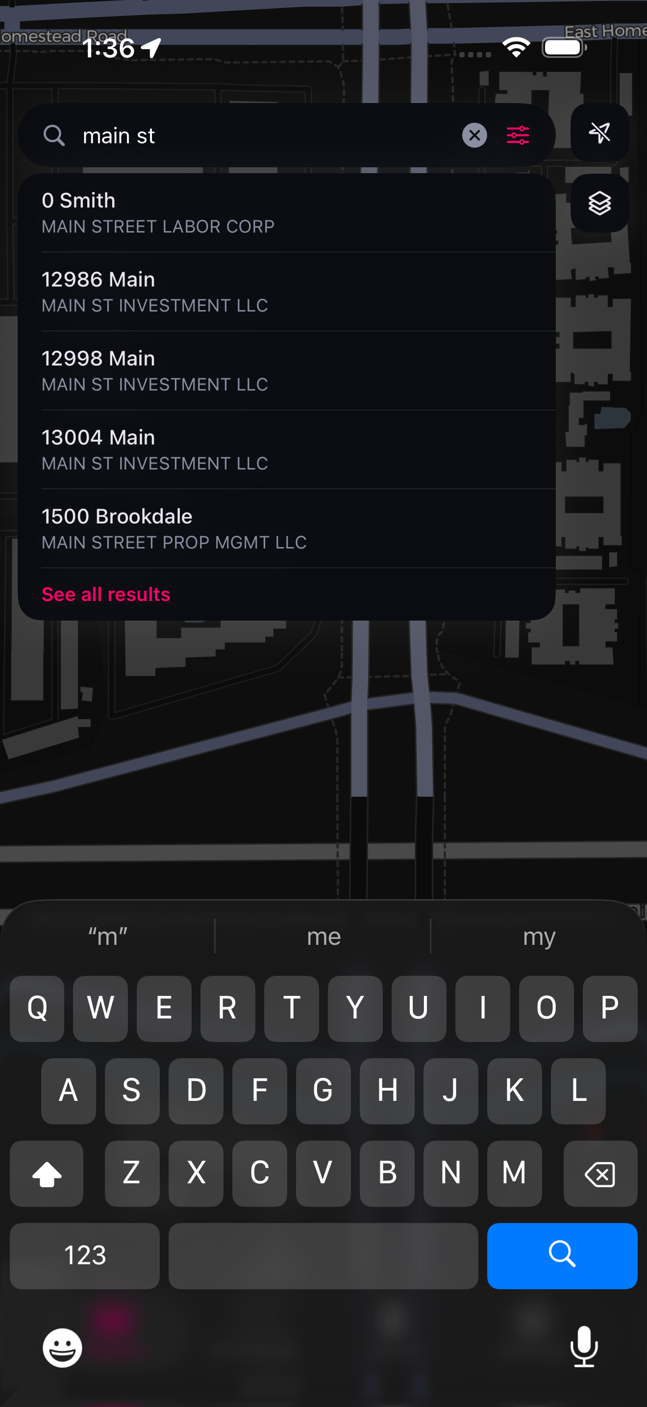
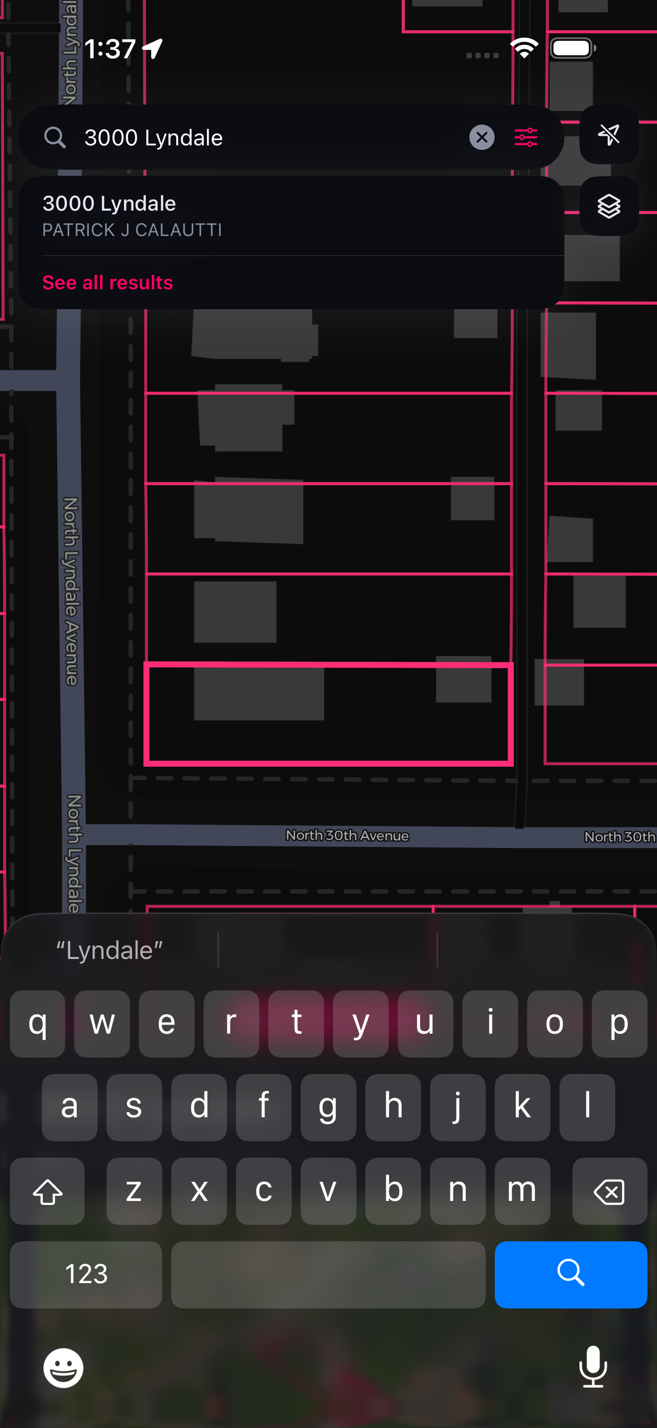
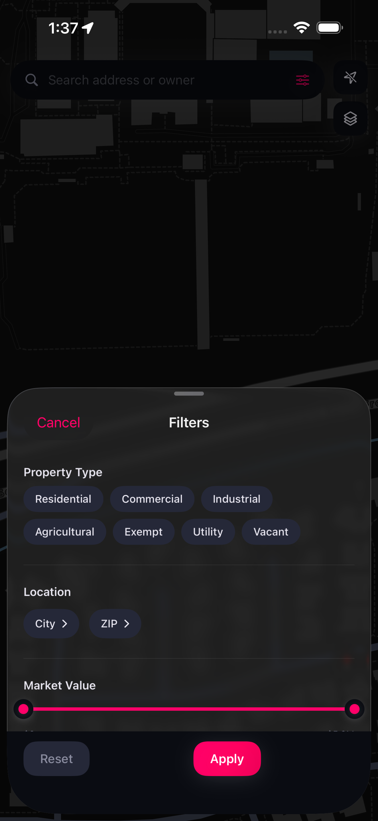
Find parcels by address, owner name, or parcel ID with instant autocomplete. Filter by property type, value, and more.
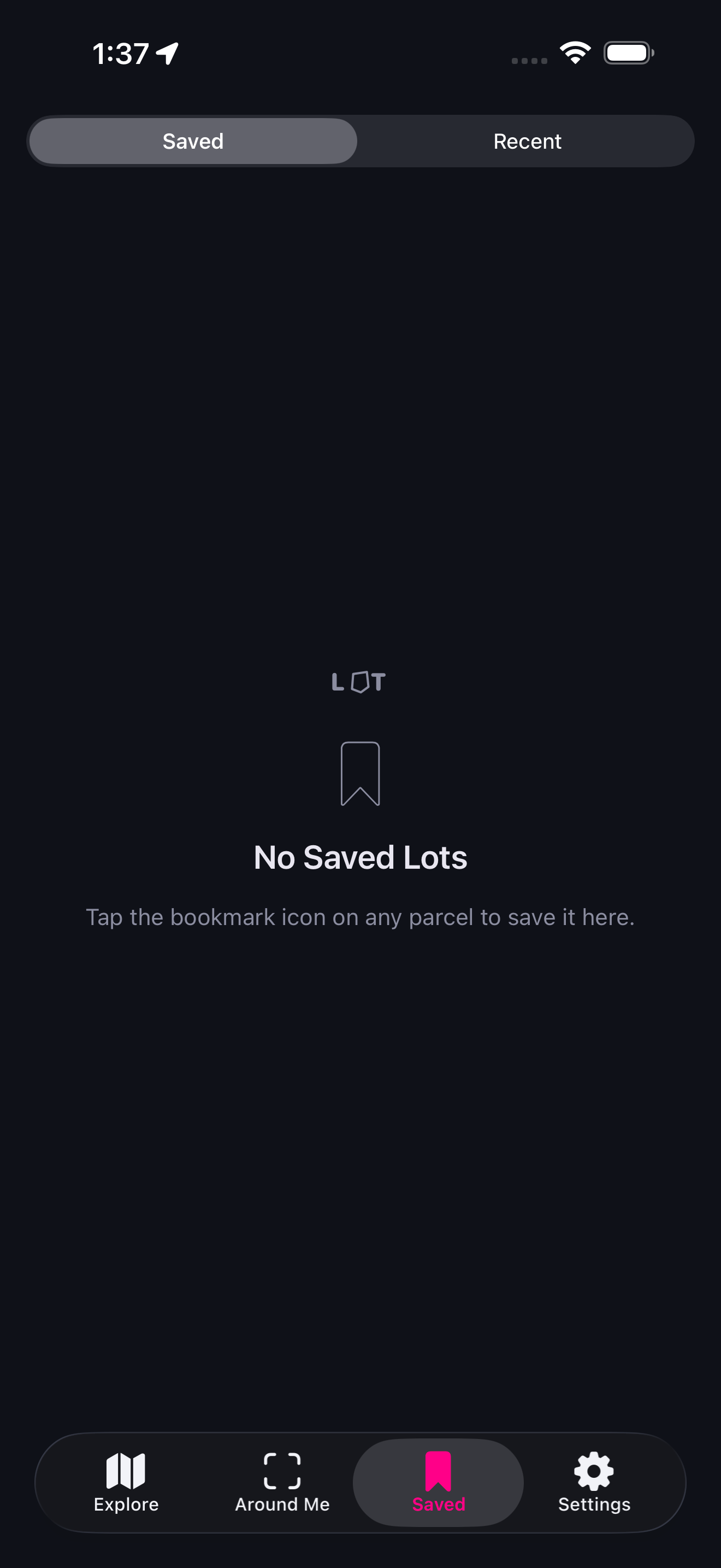
Bookmark parcels you care about. Saved lots appear with gold boundaries on the map and in AR.